The journey through Arthur’s Pass involves a scenic drive through a mountain pass between the Canterbury region and the West Coast of the South Island. Along the way, you’ll see snow-capped mountains, deep valleys, and shingle-filled riverbeds, as well as some of the most spectacular views in New Zealand.
Whether you’re just passing through on a longer South Island road trip or planning to spend a few days, here are all of the best things to do in Arthur’s Pass, New Zealand!
Disclosure: Some of the links below are affiliate links. When you purchase through links on my site, I may make a small commission (at no extra cost to you!).
- Things to do in Arthur’s Pass map
- About Arthur's Pass National Park
- Best things to do in Arthur’s Pass
- Christchurch
- Homer's Donut in Springfield
- Take in the epic viewpoints
- Castle Hill Conservation Area (Kura Tawhiti)
- Cave Stream Scenic Reserve
- Lake Pearson (Moana Rua)
- Bealey Spur Track
- Arthur's Pass Village
- Hike Avalanche Peak Route
- Arthur's Pass Walking Track
- Devil's Punchbowl Waterfall
- Temple Basin
- Otira Viaduct Lookout
- Continue on to the West Coast
- Take a scenic train journey
- Where to stay in Arthur's Pass
- Arthur's Pass FAQ
- Arthur's Pass fun facts
Things to do in Arthur’s Pass map
How to use this map: Click “View larger map” in the top right corner. From there, you can view each location and save your favorites to your own Google Maps lists!
About Arthur’s Pass National Park
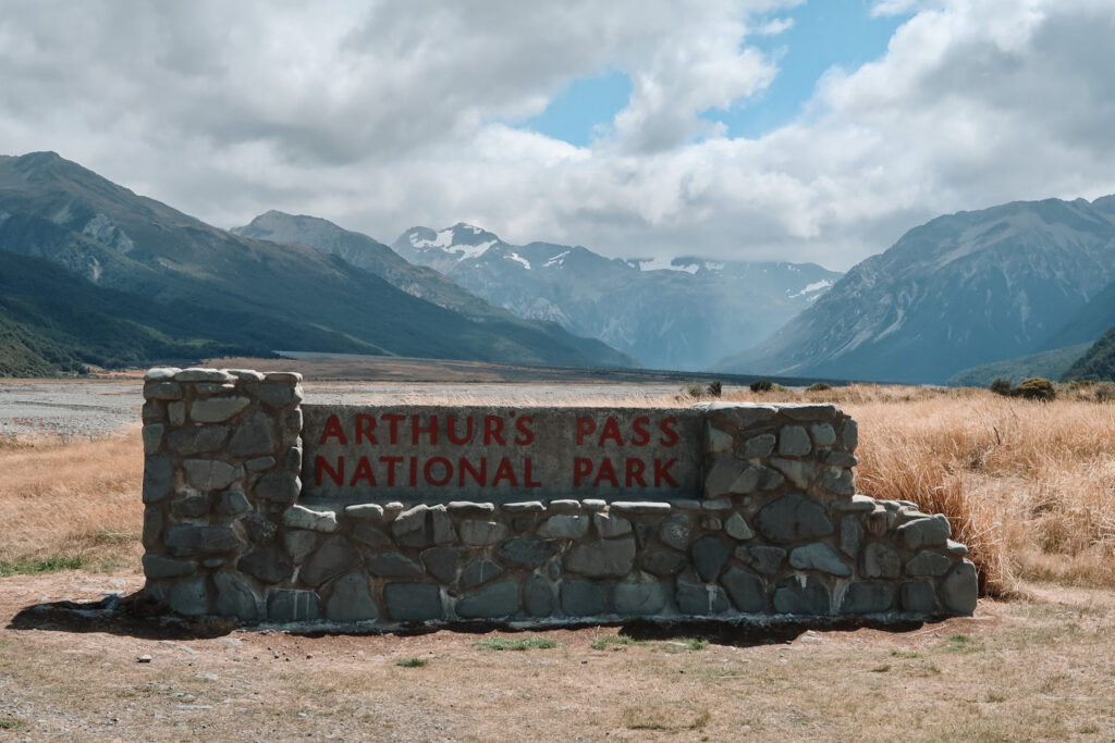
Arthur’s Pass National Park is a protected area within the heart of the Southern Alps mountain range. The park spans over 1,180 square kilometers (456 sq mi) and is named after Arthur Dudley Dobson, who discovered the pass in 1864.
The National Park is home to a diverse range of landscapes, including mountains, glaciers, lakes, rivers, and forests. It also offers a wide range of recreational activities and things to do, like hiking, skiing, and bird watching.
Within the park, you’ll find the tiny town of Arthur’s Pass Village. The village sits on the border between the Canterbury and West Coast regions and is home to just over 30 permanent residents. (During peak tourist season, though, the population can grow to over 1000 people!)
Driving through Arthur’s Pass is an unforgettable experience with insane mountain views and winding roads. The 240 km (149 mi) drive is a part of State Highway 73 (the “Great Alpine Highway”) that runs from Christchurch to Kumara Junction on the West Coast. It takes just about three hours to complete.
Best things to do in Arthur’s Pass
Christchurch
Christchurch, also known as the Garden City, is one of the best places to visit on the South Island, especially if you’re interested in museums, great views, and scenic walking trails!
Some of the most popular activities in Christchurch include visiting the Botanic Gardens, strolling down New Regent Street, and checking out the Christchurch Art Gallery. A bit further out of town, you can spend the afternoon at Taylors Mistake Beach or hiking the Godley Head Walkway.
As the largest city on the South Island, Christchurch makes a good place to base yourself for a few days at the start of your trip. It’s also the starting point for many great South Island road trips! Christchurch to Queenstown, Nelson, or Dunedin (via Timaru and Oamaru) are a few epic routes to consider.
Homer’s Donut in Springfield
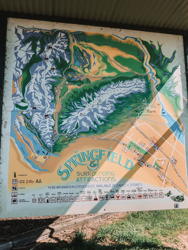
Stopping in the town of Springfield at the beginning of your Arthur’s Pass road trip is a great opportunity to stretch your legs and take a picture with a giant pink donut.
Homer’s Donut was actually a gift to the town from the American movie studio 20th Century Fox in 2007 to celebrate the premiere of The Simpsons Movie. Springfield, New Zealand shares a name with the fictional town where the Simpsons family lives.
After your quick pit stop at Homer’s Donut, make sure to fill up with fuel and head to Taste of Kiwi Cafe for some great coffee and road trip snacks.

Take in the epic viewpoints
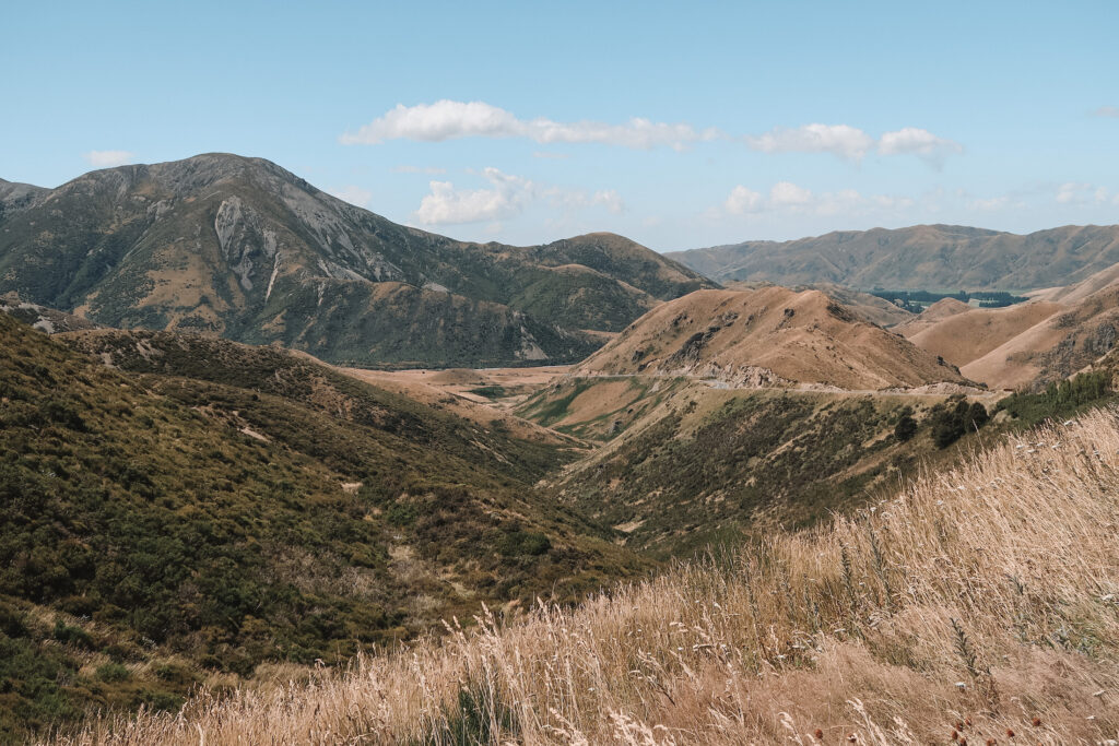
One of the most popular things to do in Arthur’s Pass is to simply appreciate the epic mountain scenery that surrounds you.
During the first hour of your drive, the landscape changes from rolling Canterbury hills to rugged high country mountains. When you see a viewing platform from the side of the road, make sure to stop for some incredible views!
Porter’s Pass Viewpoint and Pippa’s Lookout are two of the most scenic overlooks. The latter looks over Lake Lyndon, a beautiful lake with a quiet rest area.
If you’re looking for a short but steep hike, try summiting Trig M mountain peak. At 6.6 km (4.1 mi) round-trip and 447 m (1,467 ft) of elevation gain, Trig M is definitely challenging but rewarding. You can access the trailhead from the parking lot near Porter’s Pass Viewpoint.
Castle Hill Conservation Area (Kura Tawhiti)
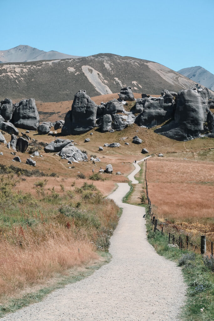
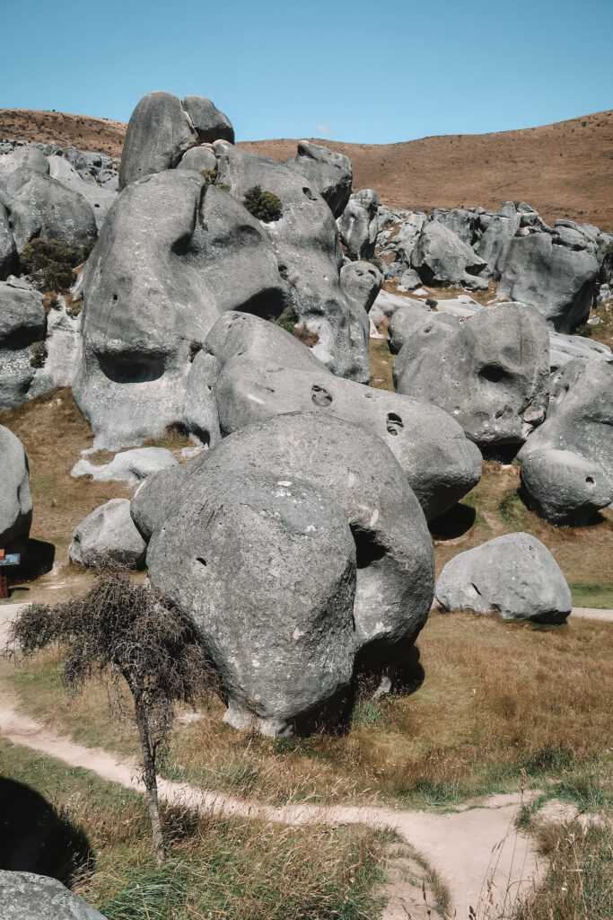
Castle Hill Conservation Area is a unique site just up the road from Pippa’s Lookout. There, you’ll find large and funky rock formations and 500-year-old charcoal drawings.
The short walk around Castle Hill is one of the best trails in Arthur’s Pass. This track and the area around it are also of special significance to Ngai Tahu, the Maori iwi in the region.
One of the best things about the Kura Tawhiti Access Track is that you’re able to explore the boulders at your leisure — there’s no requirement to stick to the track. Many people also come here to try their hand at bouldering or climbing.
Cave Stream Scenic Reserve
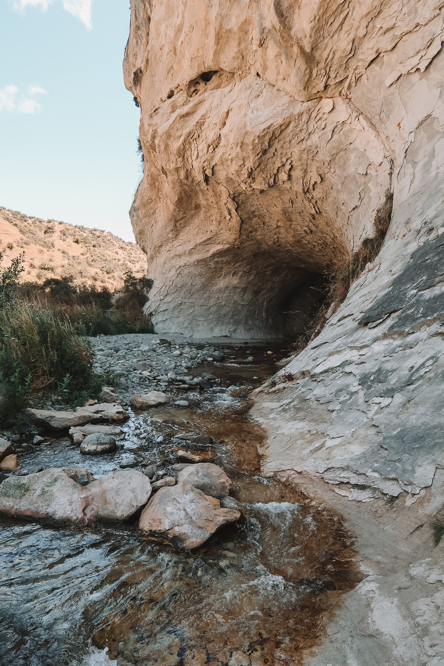
Hiking around Cave Stream Scenic Reserve is one of the most awesome things to do in Arthur’s Pass National Park.
The unique 594 m (1,949 ft) long cave has a stream running all the way through it. Between its two entrances, the cave twists and turns in pitch darkness, with water sometimes coming up waist deep!
You’ll need to bring a bit of equipment if you want to explore the inside of the cave. Waterproof shoes, a rain jacket, and a head torch or flashlight are essential.
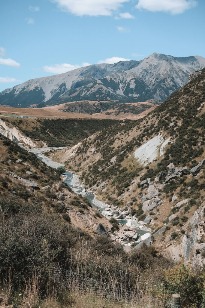
Fortunately, you don’t need to walk all the way through the cave to appreciate its natural beauty. The 30-minute return walk from the car park leads to the cave’s entrance with lots of spectacular views and alpine plants along the way.
Lake Pearson (Moana Rua)
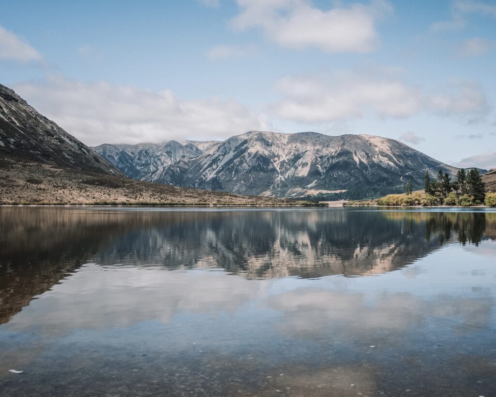
Lake Pearson is another quick stop along the way from Christchurch to the West Coast. The wildlife refuge slash rest area is a relaxing place to stretch your legs, use the toilet, and appreciate the incredible views.
I’d recommend stocking up on groceries in Christchurch and bringing a picnic lunch to Lake Pearson — it’s one of the best ways to break up a long day of driving!
There is also a DOC campsite at Lake Pearson if you want to spend the night in your tent or campervan. It costs $10 per person, per night and needs to be booked online in advance.
Bealey Spur Track
The Bealey Spur Track is another unmissable South Island hike. This 12 km (7.5 mi) out-and-back track can be done as either a day hike or as an overnight hike.
Unlike other alpine hikes in Arthur’s Pass, the Bealey Spur Track ascends pretty gradually. As you climb, you’ll get epic views over the Waimakariri Valley and the braided Waimakariri River below.
At the end of the track, you’ll reach the Bealey Hut, which was built in 1925 as accommodation for sheep herders. You can stay in one of the six beds in the hut for free on a first-come, first-serve basis.
Arthur’s Pass Village
Arthur’s Pass Village is located near the boundary between the Canterbury and West Coast regions. This is where you’ll find a lot of the most popular attractions in the pass, making the village a great place to stay for the night!
One of the most helpful places to visit is the Arthur’s Pass National Park Visitor Centre. There, you’ll get updated weather reports and information on the hikes and activities in the area. The rangers can also give you suggestions on things to do based on your interests and experience level!
There are two places to get food in Arthur’s Pass Village: Wobbly Kea and Challenge Cafe and Store. To be honest, both of these options are mediocre at best, so I’d recommend buying food and snacks beforehand.
Hike Avalanche Peak Route
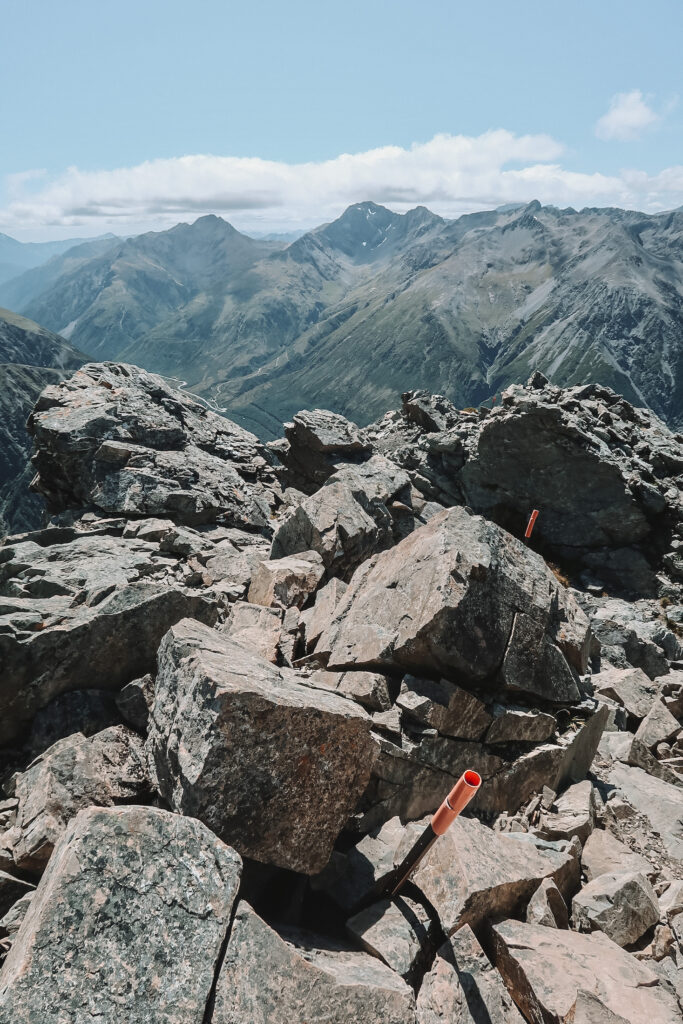
Avalanche Peak definitely packs a punch — it’s one of the most challenging and rewarding hikes I’ve ever personally done!
With over 1,100 m (3,608 ft) of elevation gain over a relatively short distance (7.1 km or 4.4 mi), the way up to the summit is very steep. Most people finish the loop in anywhere between 6 and 8 hours.
From Arthur’s Pass Village, there are two routes to the Avalanche Peak summit: Avalanche Peak Track and Scott’s Track. I’d recommend going up Avalanche Peak Track and down Scott’s Track to save your knees!
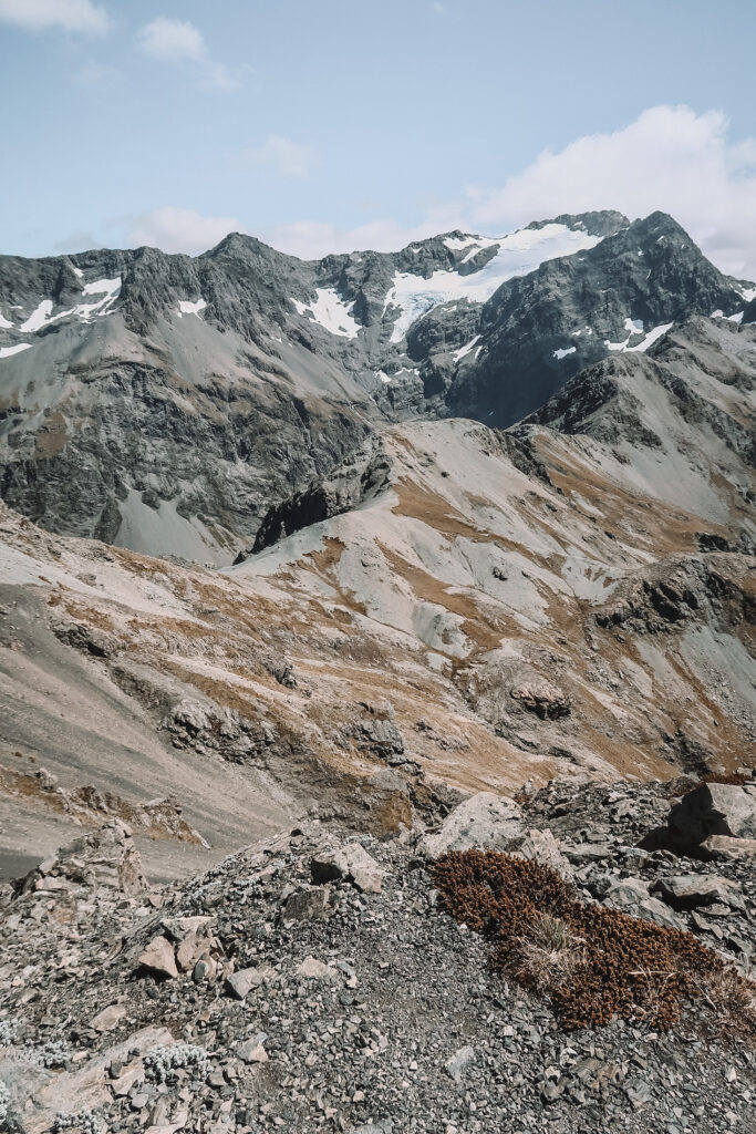
The first half of the track climbs up through a mountain beech forest. After passing the tree line, the views down the Bealey Valley are already incredible — but you’re not there yet!
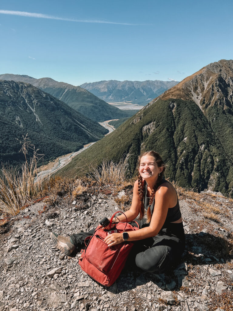
The second half of the track is fully exposed and very rocky. There are steep drop-offs, especially once you get higher up towards the summit.
I wouldn’t recommend this hike for anyone with a fear of heights!
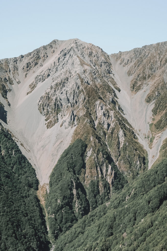
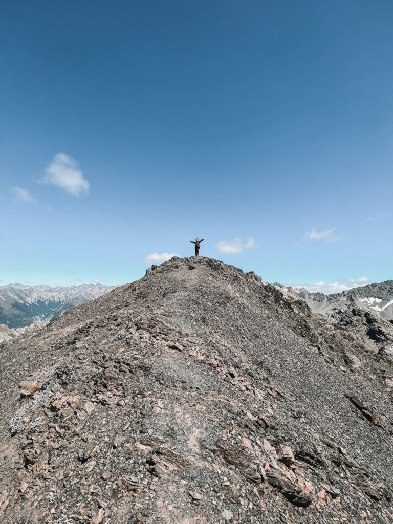
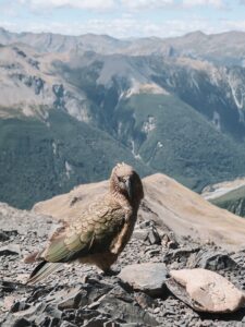
After your steep climb to the top, you’ll be rewarded with 360° views of the Southern Alps. If you’re lucky, you’ll see a cheeky kea, a type of endangered alpine parrot.
To get up and down Avalanche Peak safely, you’ll need to have a relatively good fitness level. Don’t try this hike in the winter or during any inclement weather, as the rocks can get very slippery when wet.
Arthur’s Pass Walking Track
Arthur’s Pass Walking Track is probably one of the most popular things to do in the village, and for good reason!
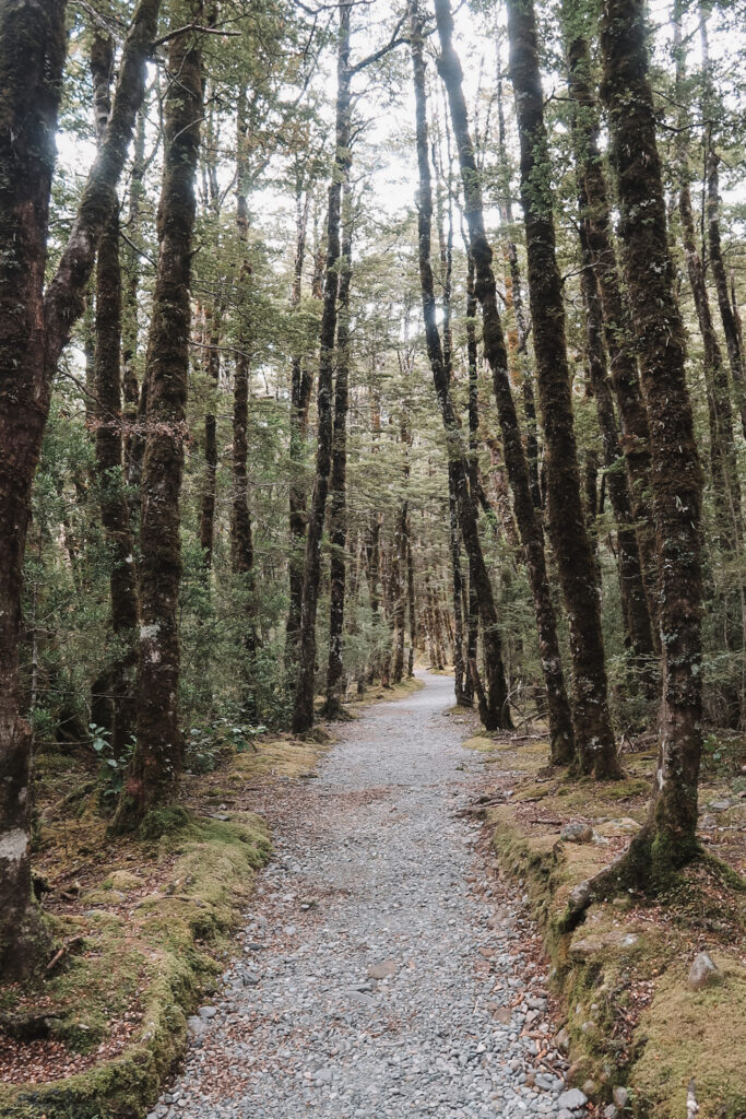
Starting from the village, the track is a 6.8 km (4.2 mi) return walk that passes lovely waterfalls, streams, and beech forests. It features views of Bridal Veil Falls and the Dobson Memorial at Arthur’s Pass summit.
The total round-trip walk only takes about 2 to 3 hours and is suited for nearly every level of fitness. The trail is mostly flat, with a gradual incline towards the summit of the pass.
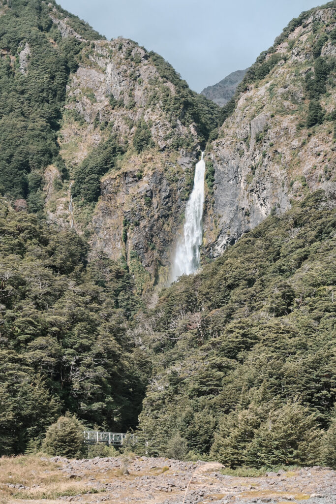
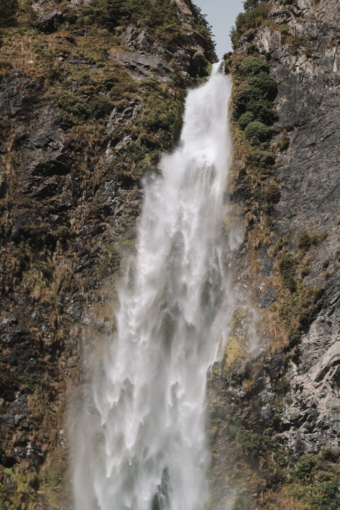
Devil’s Punchbowl Waterfall
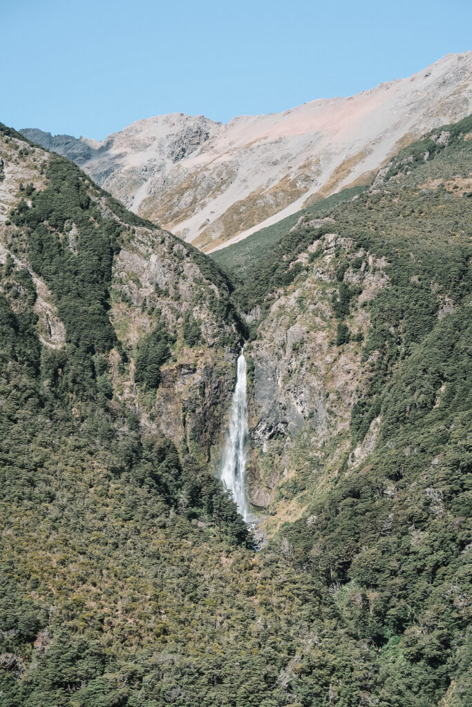
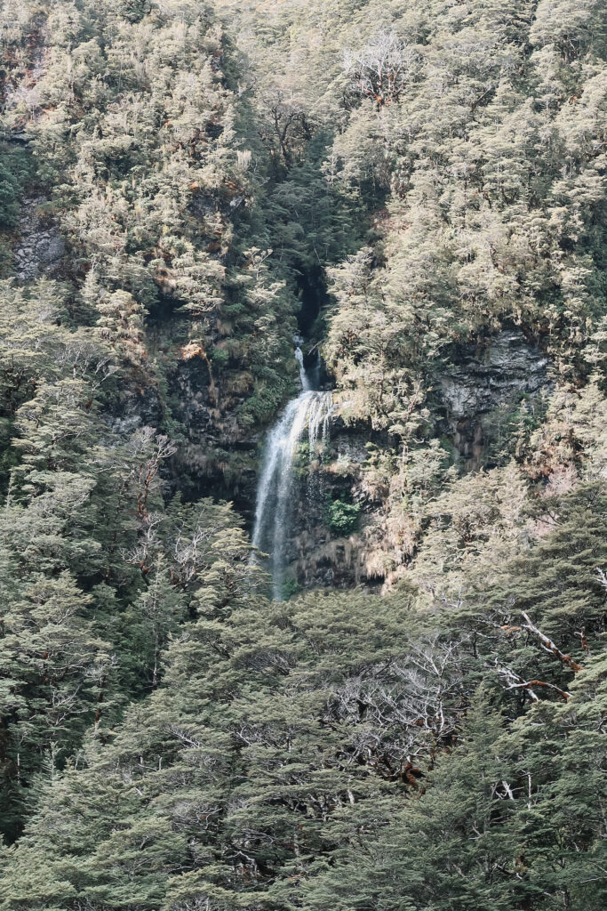
Arthur’s Pass Walking Track connects to Devils Punchbowl Walking Track and leads you to a magnificent 131 m (430 ft) tall cascade.
The 2 km (1.2 mi), 40-minute return track is rated as easy, with just a few gradual inclines along the way. You’ll see tons of lush vegetation and hear the sounds of native fantails and tomtits.
Once you reach the waterfall, there’s a viewing platform that lets you get a bit closer to the spray. This is an awesome spot for photographers and nature lovers alike!
Temple Basin
If you’re visiting Arthur’s Pass in the winter, Temple Basin Ski Area is a really cool place to do some skiing or snowboarding.
Compared to other nearby ski fields near Wanaka or Queenstown, Temple Basin is pretty inexpensive. Day passes cost just $60 on weekends and $55 on weekdays, while early bird season passes start at $160!
But Temple Basin isn’t just a winter destination — during the summer, you can hike up to the ski field from the Temple Basin car park on State Highway 73. The moderately difficult track takes about 3 hours return and offers impeccable views of Mt Rolleston on a clear day.
Otira Viaduct Lookout
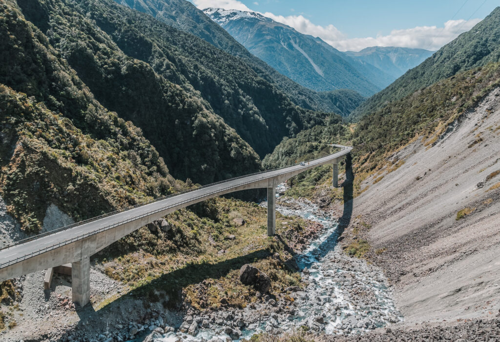
Officially opened in 1999, the Otira Viaduct is what makes driving through Arthur’s Pass possible today.
This spectacular 440 m (1,457 ft) long bridge crosses over the Otira River and zigzags through the steep gorge. It’s pretty common to see keas flying around here — just make sure not to feed them if they come close!
The Otira Viaduct Lookout, also known as Death’s Corner, is the highest point on the road and is an excellent place to stop for a few photos on your way through the pass.
Continue on to the West Coast
Once you reach Kumara Junction, you’ve officially made it through Arthur’s Pass and to the West Coast region! From here, you can either turn north towards Westport or south towards Haast.
Heading north, you’ll pass the towns of Greymouth, Punakaiki, Fox River, and Charleston. Afterwards, you can head farther up State Highway 6 all the way to Nelson.
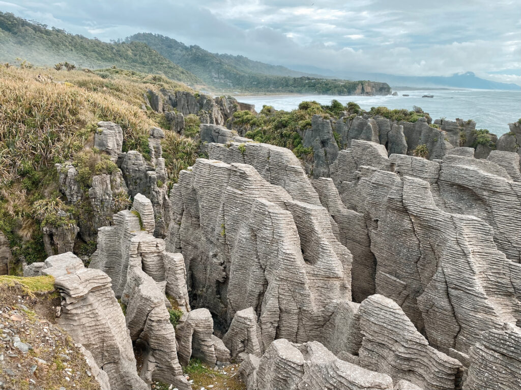
Some popular attractions to check out along the way include Coal Creek Falls, Punakaiki Pancake Rocks, the Fox Cave Track Hike, and Underworld Adventures.
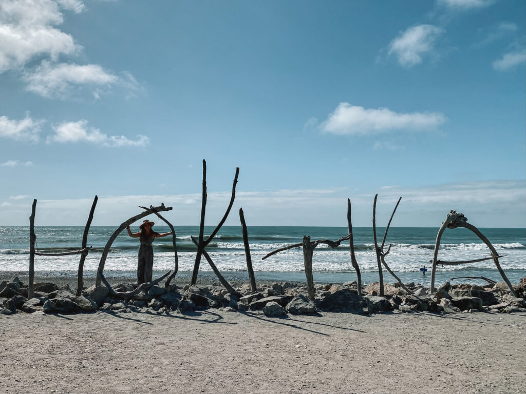
If you head south, you’ll be able to see most of New Zealand’s West Coast. You’ll pass through Hokitika, Franz Josef, and Fox Glacier before reaching the Haast Pass to Wanaka.
The best things to do down the West Coast include the Hokitika Glow Worm Dell, Hokitika Gorge, a helicopter flight to Franz Josef Glacier, walking around Lake Matheson, and the Blue Pools Track.
Once you make it to Wanaka, you can then head west towards Queenstown and Te Anau, south to the Catlins, or northeast back to Christchurch via Aoraki Mt Cook and Tekapo.
Take a scenic train journey
If you’re not able to (or don’t want to) rent a car, a scenic train journey through Arthur’s Pass could be a great thing to do instead!
The TranzAlpine Train is a rail route from Christchurch to Greymouth. Stretching 223 km (139 mi) and taking just under 5 hours, the coast-to-coast TranzAlpine Train offers open-air viewing carriages and local snacks and drinks from the cafe.
One-way tickets for the train start at $229 NZD ($142 USD). You can buy tickets online from Viator Tours or GetYourGuide.
Where to stay in Arthur’s Pass
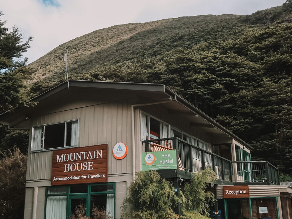
During our road trip through Arthur’s Pass, we stayed at Mountain House YHA. This cheap and cheerful hostel in Arthurs Pass Township was actually way nicer than we were expecting!
Some other popular accommodation options include Arthur’s Pass Alpine Motel, The Nook, and Otira Stagecoach Hotel. These hotels offer basic facilities at a reasonable price point.
If camping is more your jam, there are a number of DOC campsites throughout Arthur’s Pass. Here are just a few of the best:
If you’re traveling in a self-contained campervan, there are two freedom camping locations in Arthur’s Pass: Klondyke Corner and Greyneys Shelter Campsite.
Book accommodation in Arthur’s Pass
Arthur’s Pass FAQ
Is Arthur’s Pass worth visiting?
Yes, absolutely! Arthur’s Pass is worth a visit for anyone who loves nature and outdoor adventures. With a diverse range of landscapes and recreational activities, it’s impossible to get bored in Arthur’s Pass.
Some of the most incredible things to do include hiking the Avalanche Peak Route, exploring Arthur’s Pass Township, and embarking on the Devil’s Punchbowl walk.
What is Arthur’s Pass known for?
Arthur’s Pass is known for its stunning natural beauty, variety of wildlife, and recreational outdoor activities like tramping and skiing.
The surrounding areas are also known for their rich cultural history, with several historic Maori rock art sites that date back thousands of years. The National Park is a significant location for the Ngai Tahu iwi, who have lived in the area for over 800 years.
How long is the Arthur’s Pass drive?
The road through Arthur’s Pass is 240 km (149 mi) long.
Driving through Arthur’s Pass from Christchurch to the West Coast takes a little bit over 3 hours without stopping. You’ll definitely want to stop, though, so factor in at least a few more hours for sightseeing!
Can I visit Arthur’s Pass as a day trip?
Yes, you can do Arthur’s Pass as a day trip from either Christchurch or the West Coast. From Christchurch, expect a 2-hour drive to get to Arthur’s Pass Village. From Greymouth, it’s about a 1-hour drive.
On a day trip, you’ll be able to visit a few of the most popular attractions, like the Castle Hill limestone boulders and Devils Punchbowl waterfall. If you’re planning to do a longer hike like Avalanche Peak or Bealey Spur, I’d recommend spending the night within the pass.
There are guided day tours available from Christchurch as well. This day trip from GetYourGuide includes tickets for the TranzAlpine Train!
When’s the best time to visit Arthur’s Pass National Park?
This recommendation will differ based on what kinds of activities you’re planning to do!
If you want to do some hiking, camping, mountain biking, or water sports along the Bealey River, the summer months (November through March) would be the best time to visit. Because of the high elevation in the pass, you can expect cooler, wetter, and windier weather than in other parts of the South Island.
Arthur’s Pass National Park can be a great place to visit in the winter months if you want to do some skiing or snowboarding. Temple Basin Ski Area on the east of the National Park is the most popular. Porters, Craigieburn Valley, Broken River, and Mt Cheeseman are a few other options along the western side.
Arthur’s Pass fun facts
- Established in 1929, Arthur’s Pass National Park was the first National Park on the South Island and the third in the country.
- Arthur’s Pass is one of two place names in New Zealand that use a possessive apostrophe (the other being Hawke’s Bay on the east coast of the North Island).
- Only around 30 people live in Arthur’s Pass Village full-time.
- At 920 m (3,018 ft), Arthur’s Pass is the second highest mountain pass over the Southern Alps (the highest is Porter’s Pass at 939 m!).
You’ll also love:
- Moving Abroad Packing List: The Ultimate Checklist for Expats
- 16 Exciting Things to Do in Te Anau, New Zealand
- How to Visit Kerlingarfjöll in One Day: Icelandic Highlands Travel
Thanks for reading this guide to the best things to do in Arthur’s Pass!
xoxo Niki
https://nikiinnewzealand.com/things-to-do-in-arthurs-pass/
Hi there. Nice article. I’m one of the lucky people who has a place at Arthur’s Pass. Just a wee correction, Arthur’s Pass isn’t the highest pass. Porter’s Pass is a bit higher.
Cheers, Nigel
Oops, good catch! Thanks for letting me know Nigel 🙂