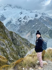
The Red Tarns track is a moderately difficult hike in Aoraki/Mt Cook National Park. Three hundred meters of steep incline lead you to the most marvelous view of the surrounding mountains and valley below. Read on for my experience, along with tips and tricks to make your visit a success!
General information
- Difficulty: Intermediate
- Elevation gain: 300 m / 984 ft
- Length: 4 km / 2.5 mi return
- Time: 2 hours
- Type of hike: Lots of stairs, baby
Check out the DOC site here.
Getting to the Red Tarns Track
The trailhead for this track starts at the Mt Cook Village Public Shelter (59 Bowen Drive — easily found on Google Maps). The parking lot is pretty small, with room for about five or six cars. I came on a weekday and had no problem finding a spot, but weekends might be more challenging.
The shelter itself has toilets, coin-operated showers, and outdoor barbecues. It’s a good place to fuel up before or after your hike. Camping overnight isn’t allowed, however.
Red Tarns track: Part 1
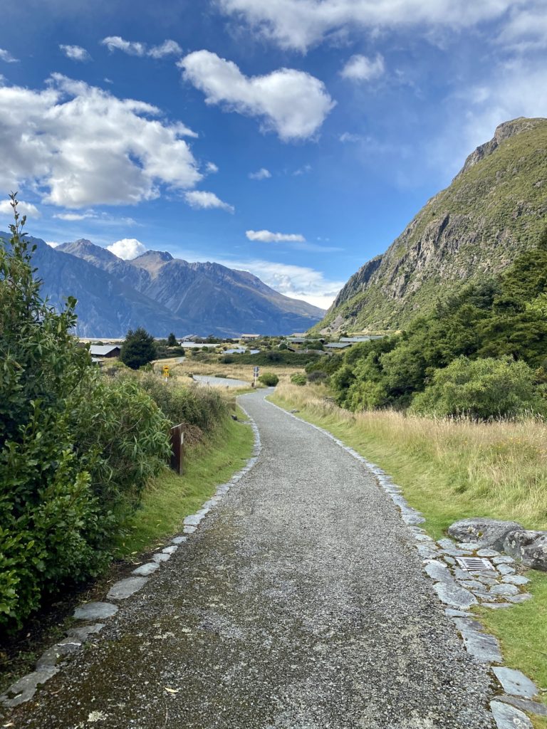
The beginning of the track takes you on an easy path around the edge of the village. The 10-minute walk is easy and flat (enjoy this part while it lasts!). The trees surrounding this path were filled with birds when I walked past. I saw a tomtit, a New Zealand bellbird, and a few little bunnies hopping along.
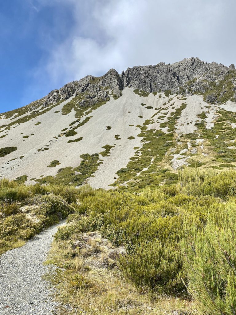
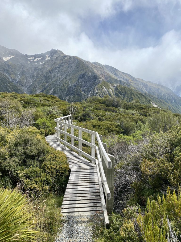
Once you make it down the path, you reach a long and narrow bridge. Crossing over that bridge officially brings you to the base of Mt Sebastopol. From here on out, the track gets narrow, steep, and exposed to the elements.
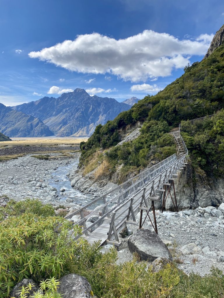
Red Tarns track: Part 2
Get ready to climb!
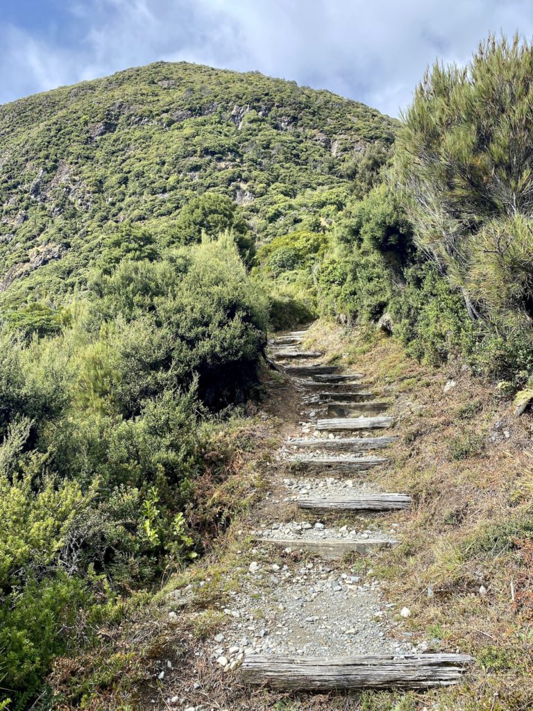
Part two of this hike is essentially all stairs. The track zigzags along the face of the mountain, though, giving you a sweet view the whole way up. I stopped a bunch of times along the way to take pictures (not because I was out of breath — nope!).
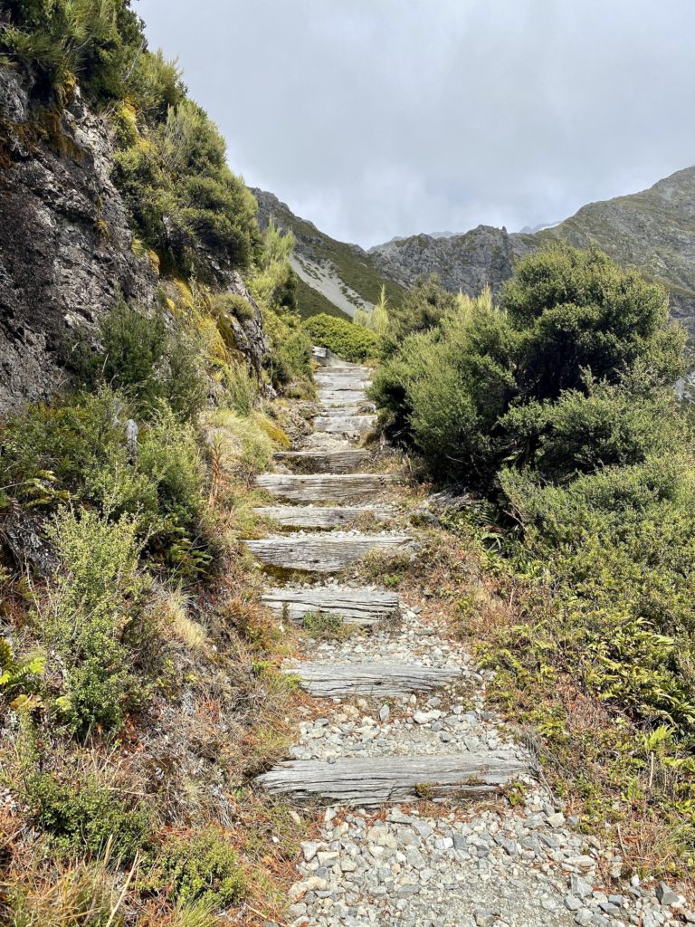
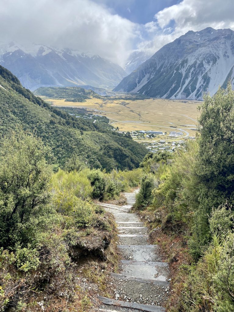
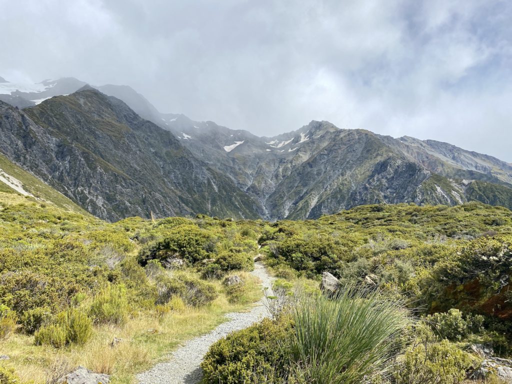
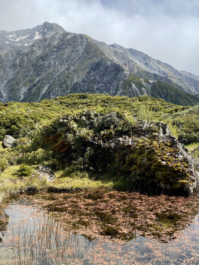
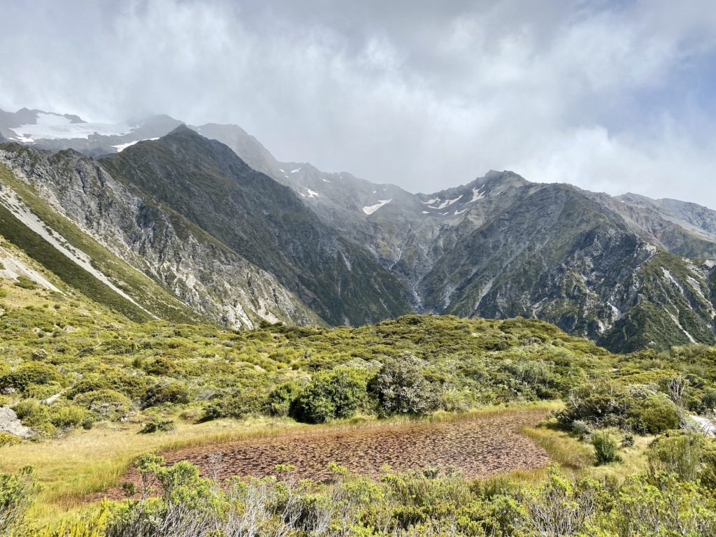
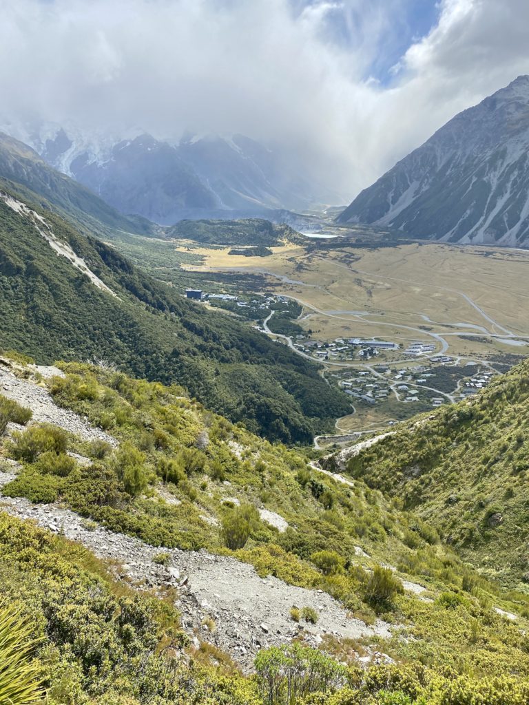
Once you make it part of the way up, the entire town of Mt Cook Village comes into view. A bit farther up, you can see the historic Hermitage Hotel and Hooker Glacier in the distance. On a clear day, Mt Cook is right in front of you. Even with the misty clouds blocking my view, it was amazing.
It took me a solid 45 minutes to make it up to the top.
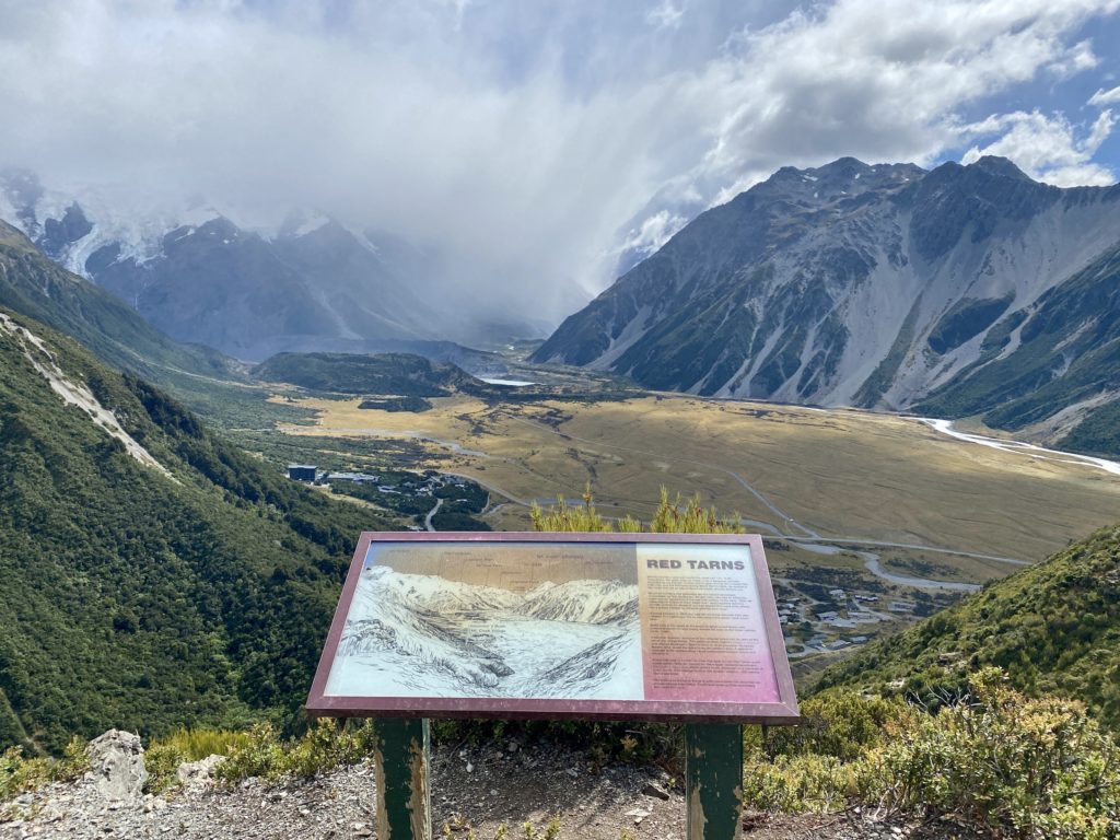
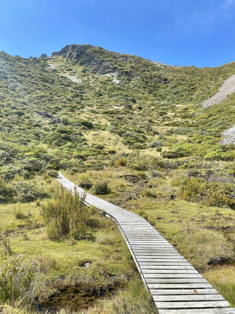
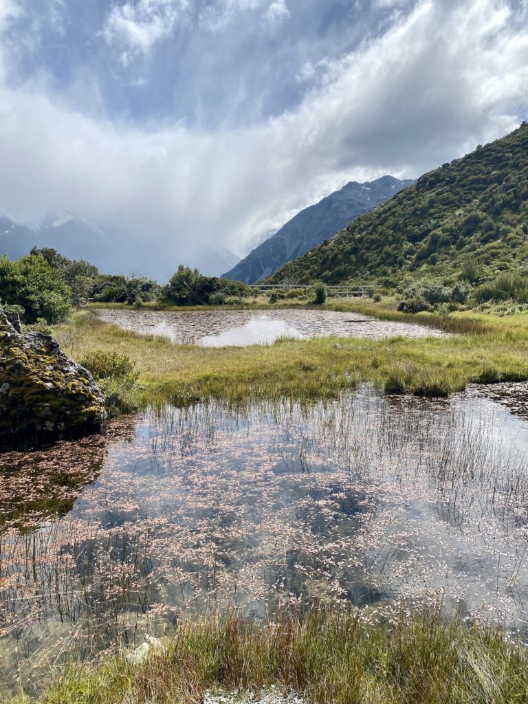
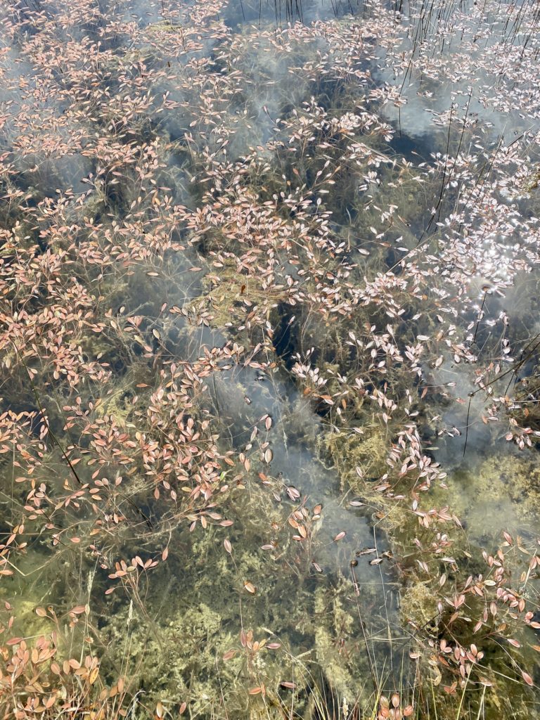
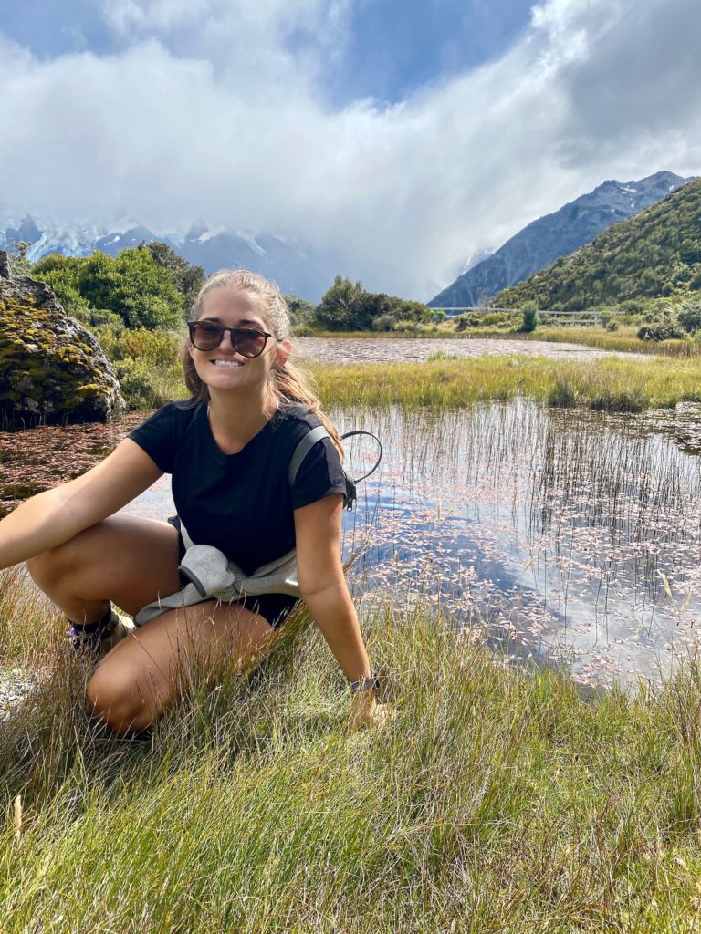
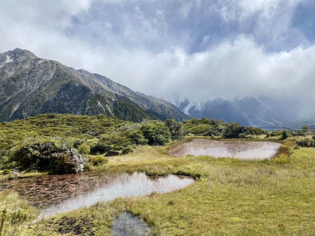
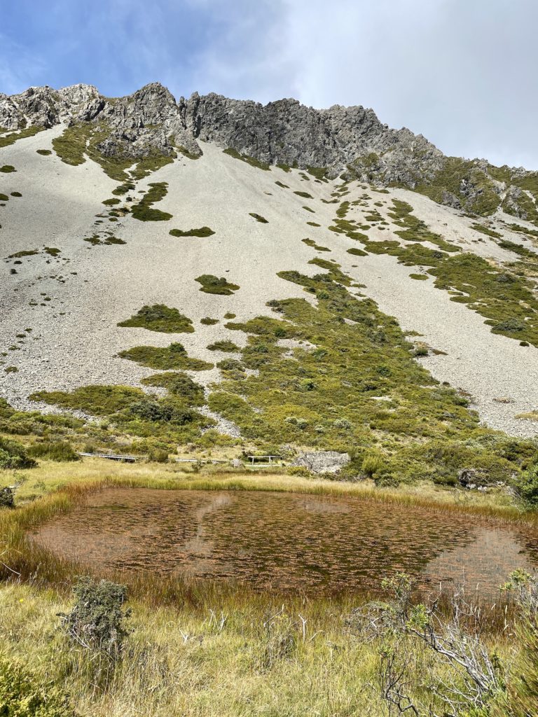
Once you reach the top of the track, there are a few benches, viewpoints, and informational signs. I made my way around the small boardwalk loop to see the Red Tarns.
What is a tarn?
A tarn is a small mountain lake. The red-colored tarns at the top of this hike were named for the copper-colored pondweed (Potamogeton cheesemanii) that grows there. Apparently, this weed is common at lower altitudes, but not so much at 1200 m above sea level!
Red Tarns track: The descent
After making it around the loop to see the tarns, I made my way back down the same way I came. There’s not much to say here about the descent — it’s the same set of stairs, just downhill. The view might be even nicer coming down since you’re facing it the whole time!
It took me just under 30 minutes to make it down the stairs and back to my car. All in all, the Red Tarns track took me about an hour and a half to finish — that’s including all of my frequent water breaks and photo shoots at the top.
Final thoughts
I really enjoyed my time on the Red Tarns track! It’s a great hike to do if you want to see a good view or get a good workout in (or both). I’d recommend this to anyone who’s willing to endure an hour of walking up stairs without dying of boredom.
As for difficulty, I’d rank this somewhere between easy and intermediate. I’m not the fittest person, but I never felt like I wouldn’t make it to the top of this hike. Doing the Mueller Hut route first probably numbed me to the pain of thousands of stairs.
Other hikes at Aoraki/Mt Cook National Park
There are 11 official hikes at Mt Cook National Park. Because this walk is relatively short, you can pair it with another short walk for a full day of hiking. Here are my suggestions:
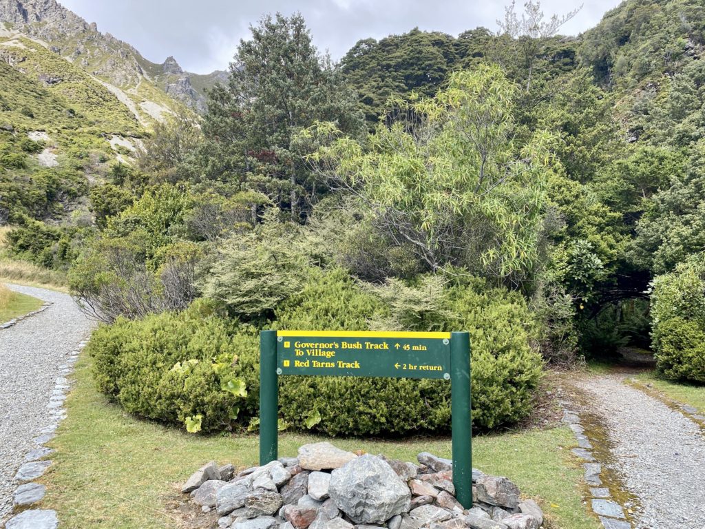
- The Governor’s Bush track is 45 minutes long and starts at the same trailhead as Red Tarns. These two are great to do together if you’re looking for convenience.
- The Hooker Valley track is an easy 3-hour route that takes you to Hooker Glacier. This is probably the most popular (and most beautiful) hike in the whole park. I’d recommend combining the Red Tarns and Hooker Valley walks if you want to see the best the park has to offer in one day.
If you’re looking for a difficult hike to challenge your endurance, the Mueller Hut route is a great choice. It’s similar to Red Tarns in that there are a lot of very steep stairs (although Mueller Hut is nearly triple the altitude gain).
Check out my full guide to Aoraki/Mt Cook National park!
Thanks for reading this Red Tarns guide! As always, if you have any questions, please leave them in the comments below. And if you enjoy this blog, consider subscribing to my email list — you’ll be notified every time there’s a new post.
xoxo Niki