The Mt John Summit Circuit Track is a 1.5-hour hike in Tekapo, New Zealand. In addition to the stunning 360° views from the top, the summit also offers the Mt John Observatory and Astro Cafe, where you can grab some coffee or a bite to eat. Read on for a full hike review, as well as tips and tricks to make your hike a success!
General information
- Difficulty: Moderate
- Elevation gain: 369 m / 1,211 ft
- Length: 6.1 km / 3.8 mi
- Time: 1.5 – 2 hours
- Type of hike: Steady uphill forest track and exposed mountainside
There are 2 variations of this hike you can do. The first is the classic Summit Circuit Track, which goes up through larch forest, loops around the summit, and comes back down the same way. This is the route I ended up taking.
The second is Mt John via lakeshore. This is the extended loop version, which goes up and around to the summit, coming back down around the shore of Lake Tekapo. This is a good option for those with more time as it takes roughly 3 hours to complete.
How to get to Mt John Summit Circuit Track
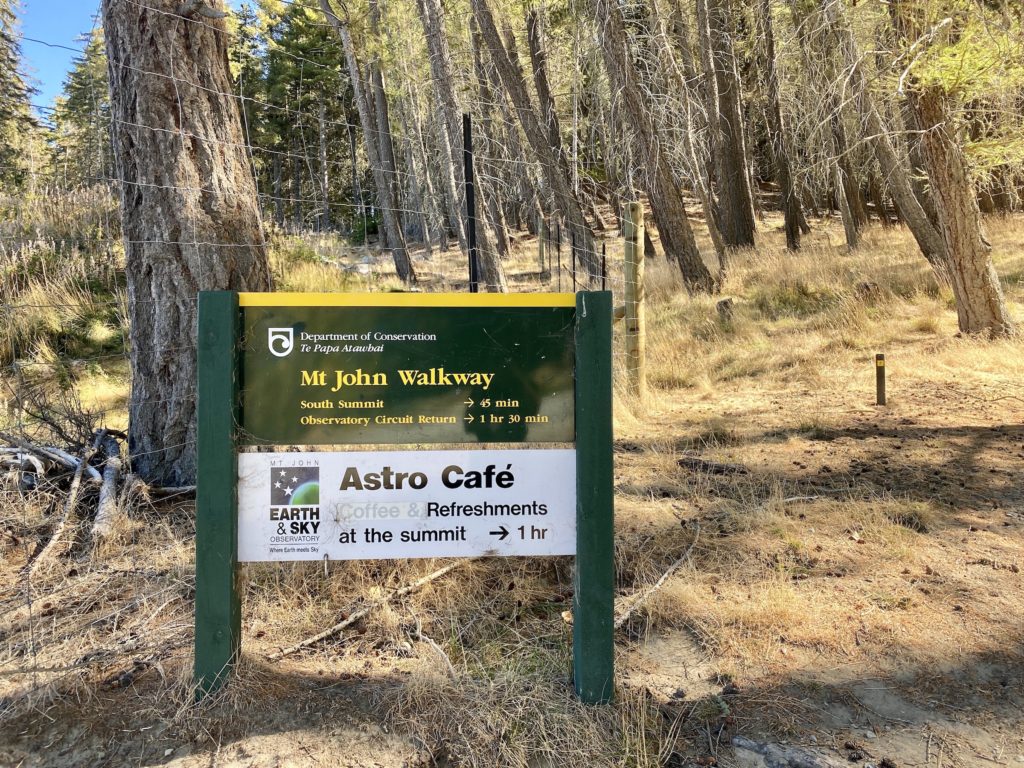
The track begins at the Tekapo Springs complex (6 Lakeside Drive, Lake Tekapo 7999). Parking in the lot on the left is only for Tekapo Springs customers, so make sure to park in the open spots on the right. The Summit Circuit Track trailhead is to the left of the complex.
What if I don’t want to hike the whole way up Mt John?
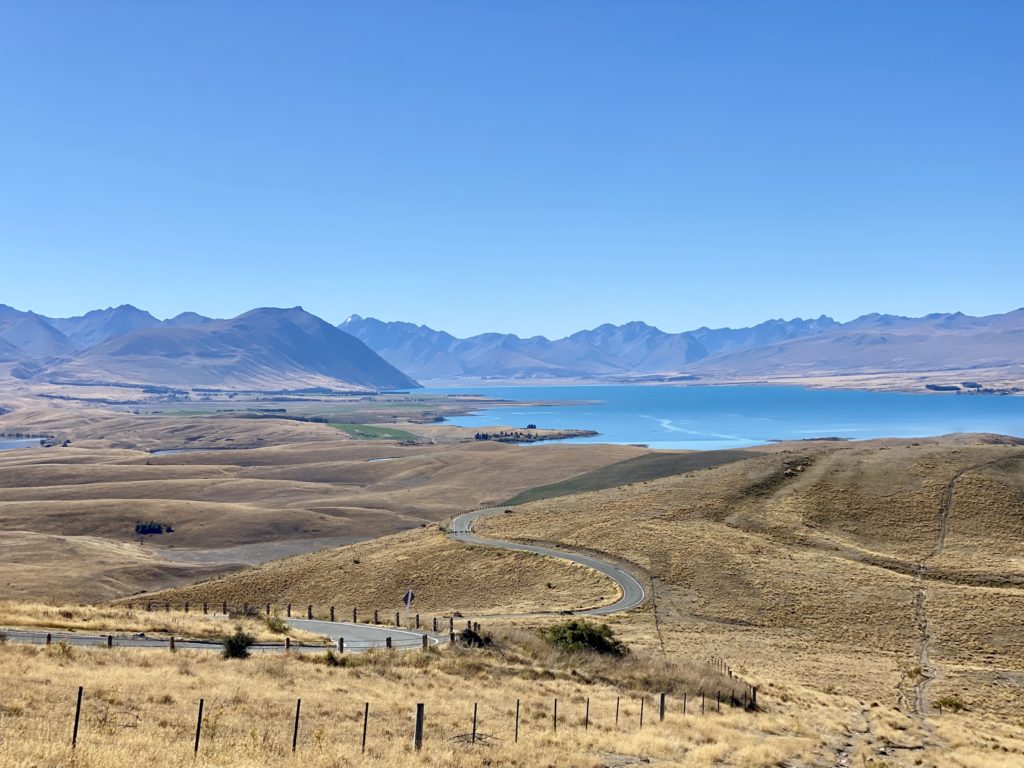
Lucky for you, it’s possible to drive all the way up to the Mt John summit. From State Highway 8, turn off onto Godley Peaks Road. You’ll need to pay an $8 fee at the gate (they accept cash, EFTPOS, and Alipay).
From the summit, you can hike the Summit Circuit Track loop in about 30–45 minutes.
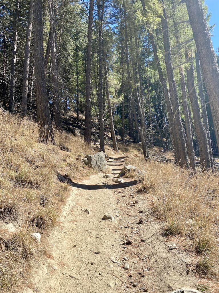
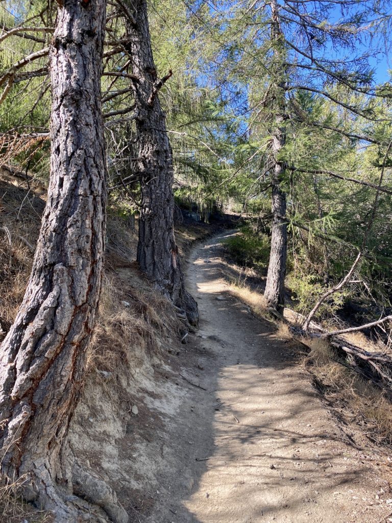
Part 1: Uphill forest walk
The first part of the Summit Circuit Track is about 30 minutes uphill through a lovely larch forest. The track zigzags up the southern side of the mountain, which is (for the most) part nicely shaded from the sun. Be aware that it does get pretty steep at times and can get muddy if it has recently rained.
There’s not much of a view on this part of the track, but keep on going! It gets more exciting very soon.
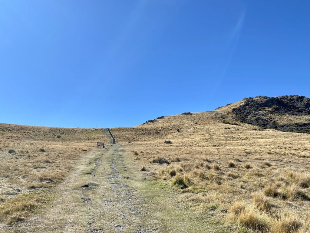
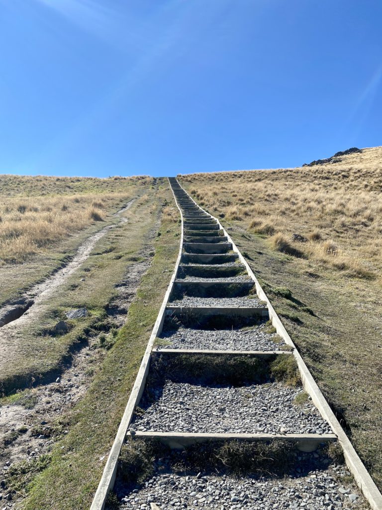
Part 2: Exposed mountainside
After making it through the forest, you’ll reach the wide, open mountainside. This part is completely exposed to the elements, so make sure you bring some sunscreen. It’s also completely uphill with a few stairs thrown in for good measure. This section takes around 15 minutes to walk up, at which point you’re nearly at the summit of Mt John.
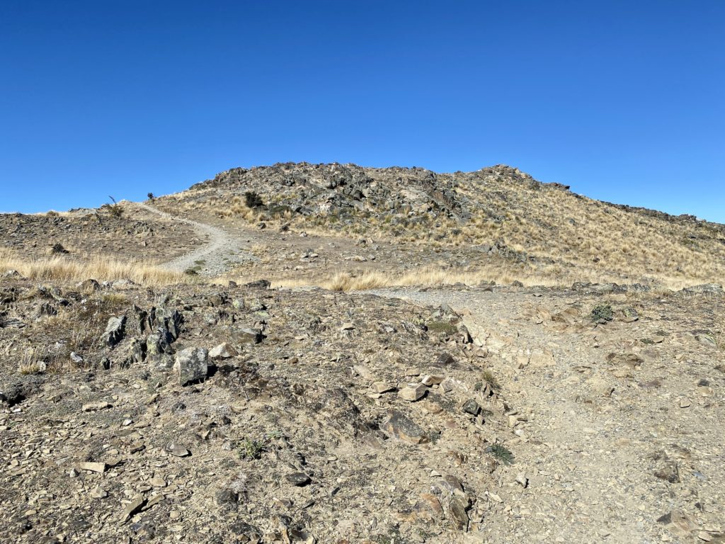
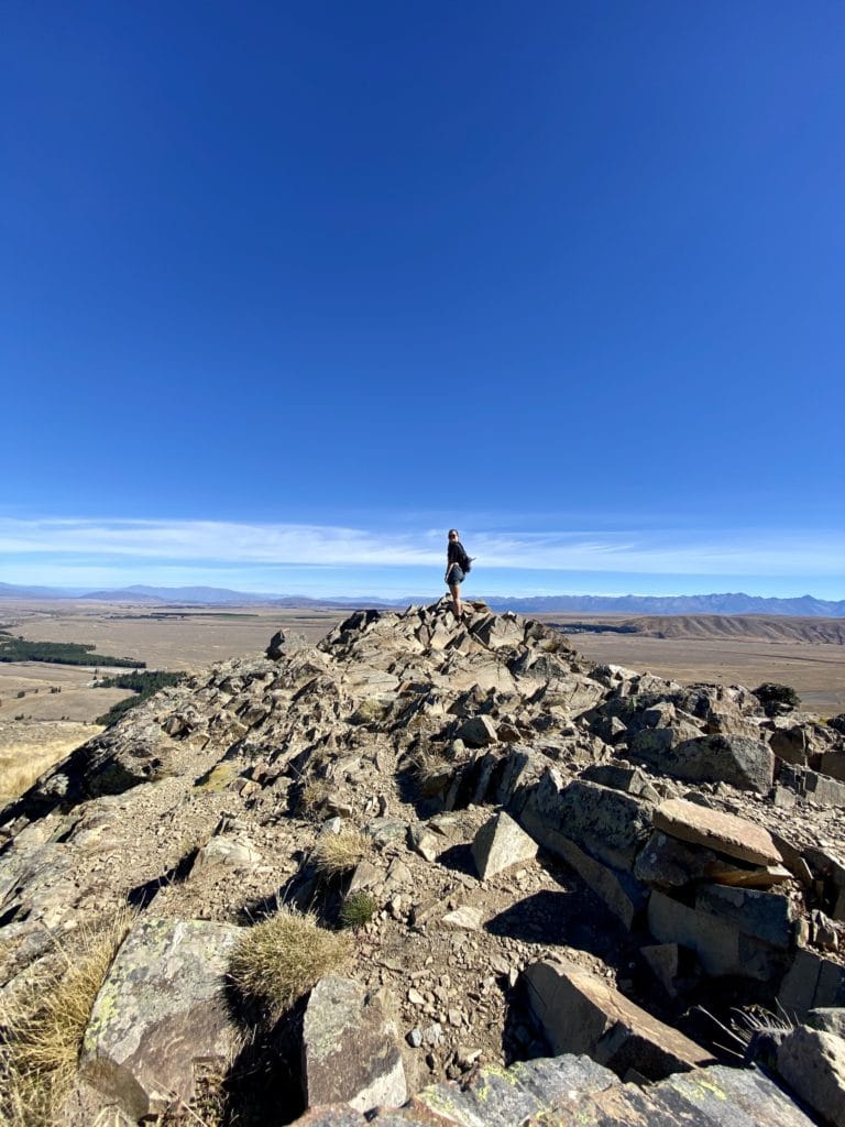
Mt John south summit
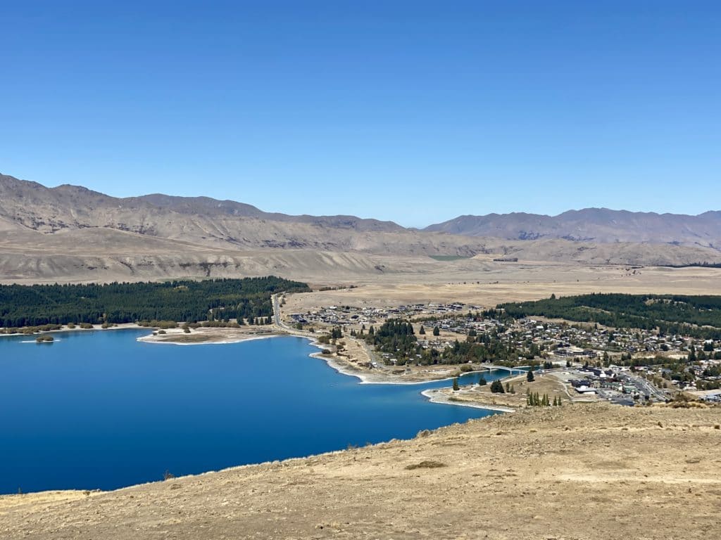
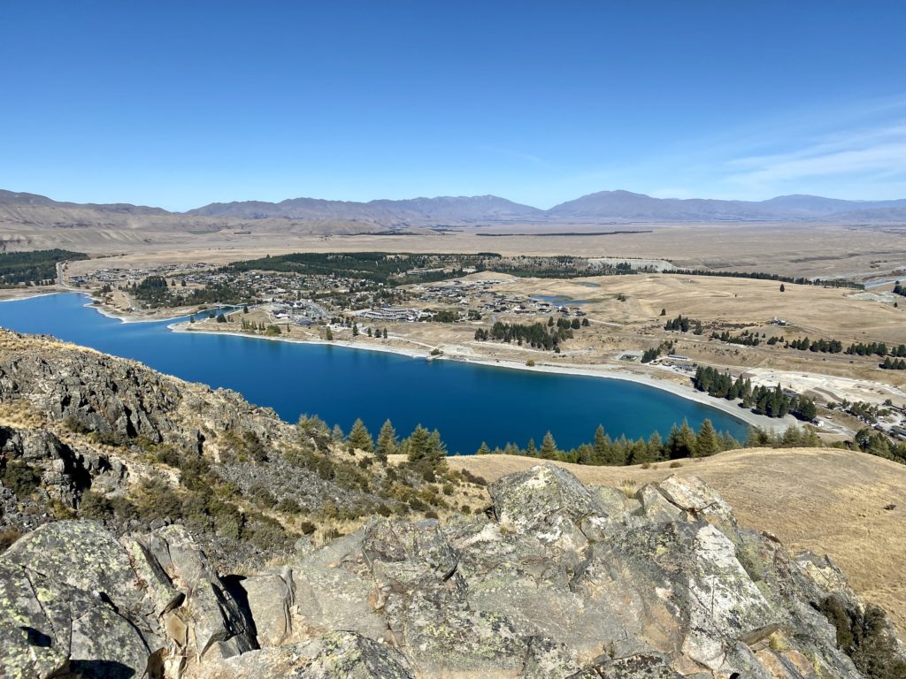
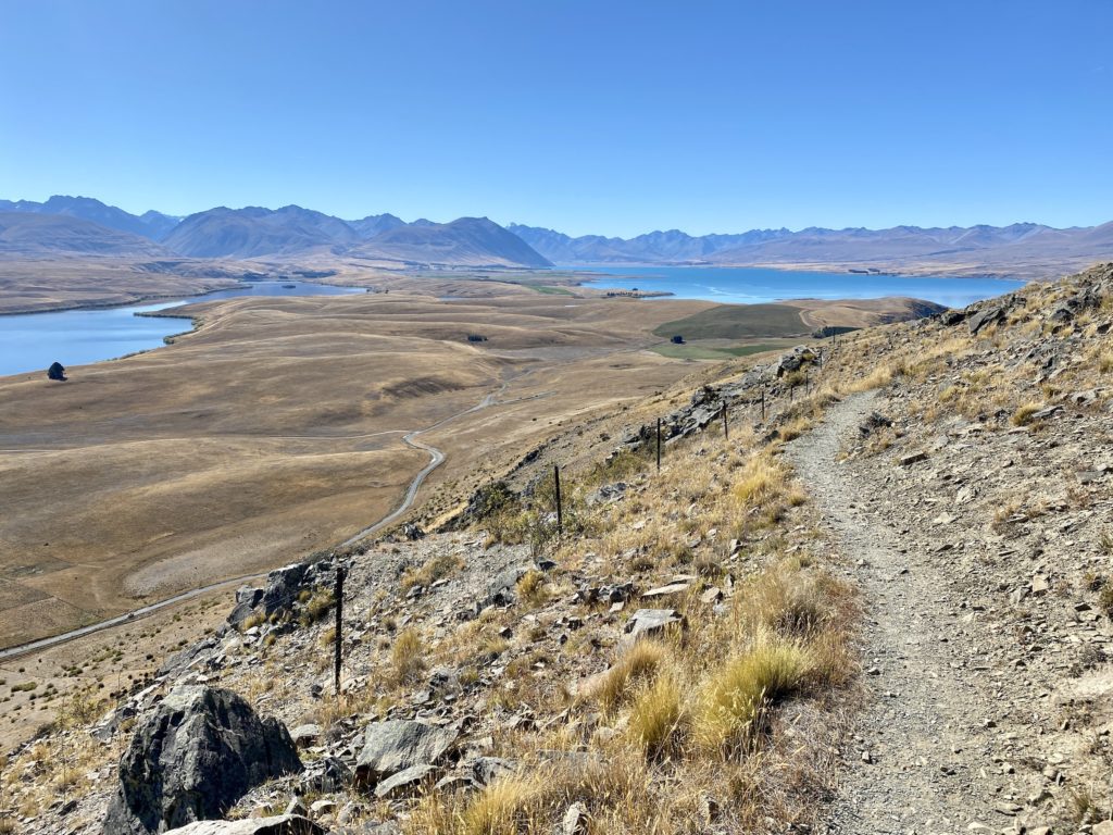
Once you make it to the top of the ridgeline, the Mt John south summit will be directly on your right. After climbing over a few larger rocks, you’ll be able to see the wonderful views of Lake Tekapo and the Southern Alps in the distance. Continue back down along the ridgeline to walk around the rest of the summit.
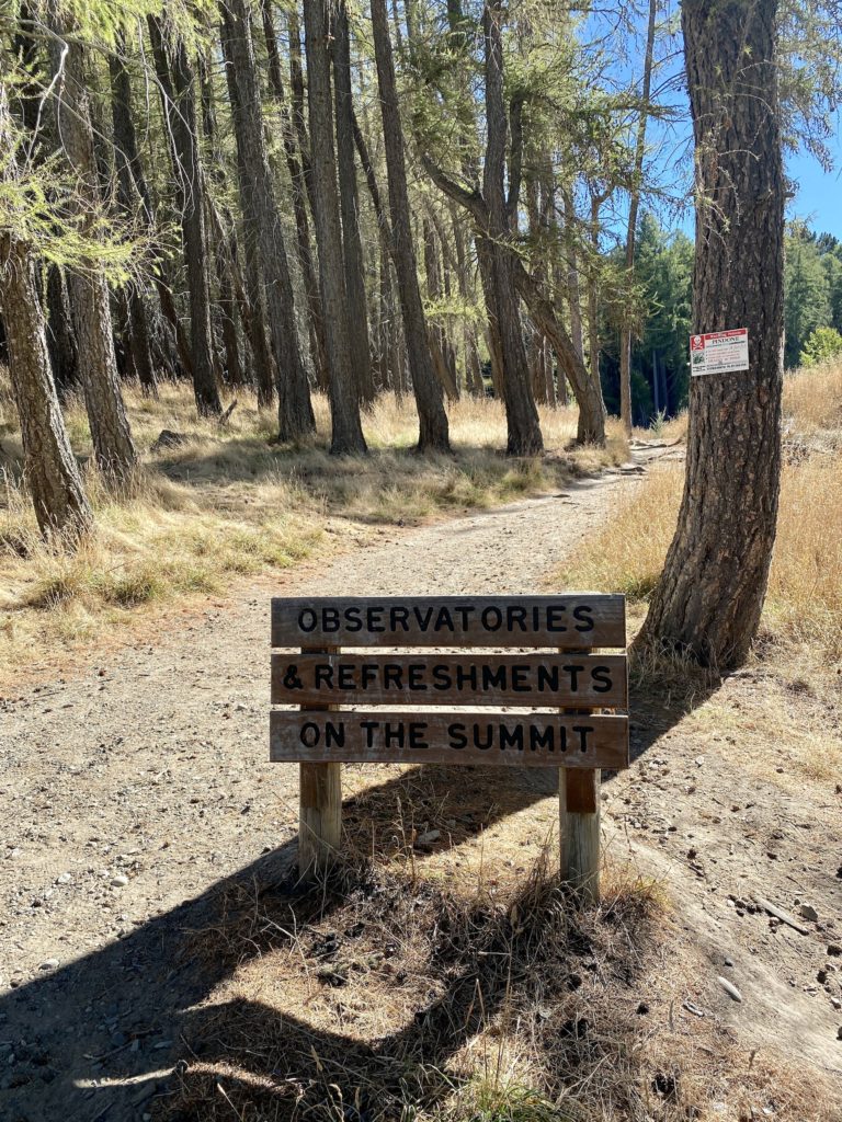
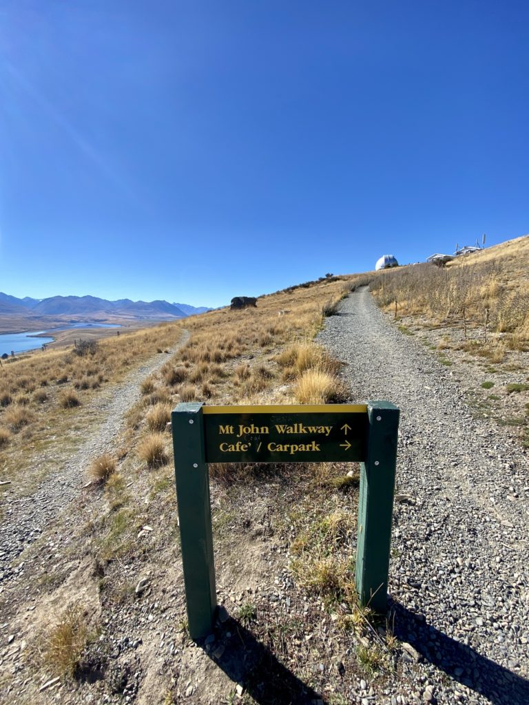
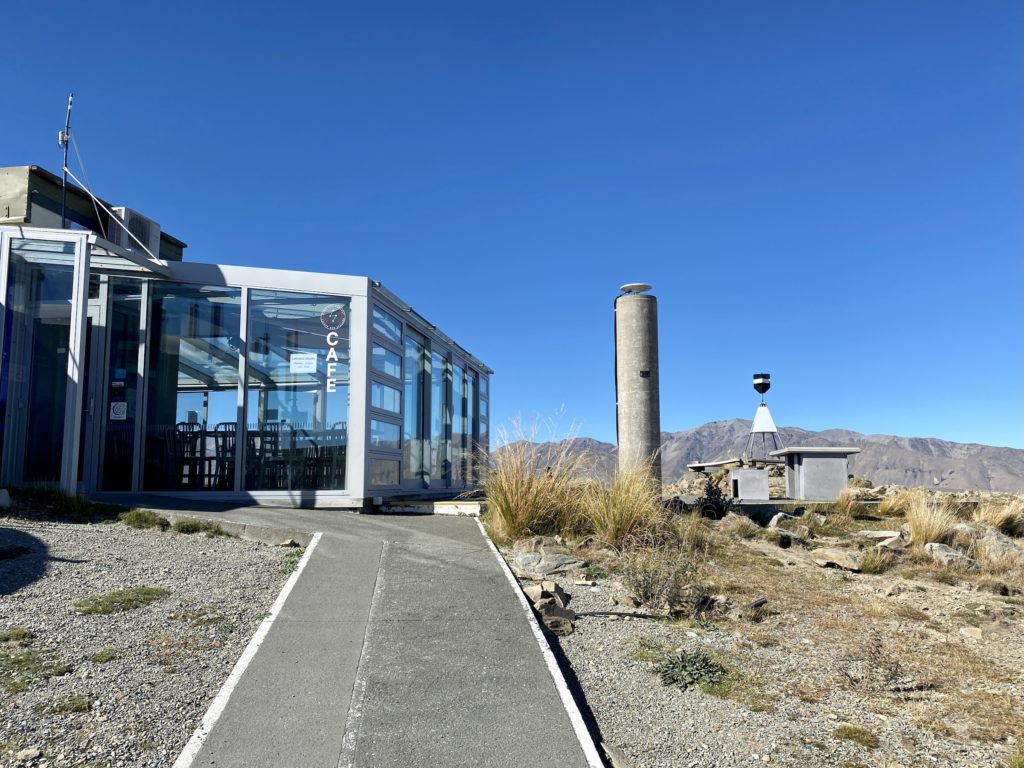
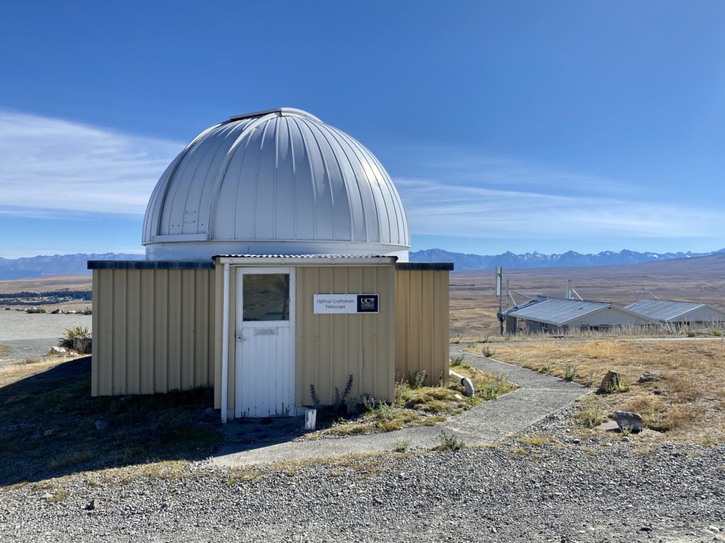
Mt John Observatory and Astro Cafe
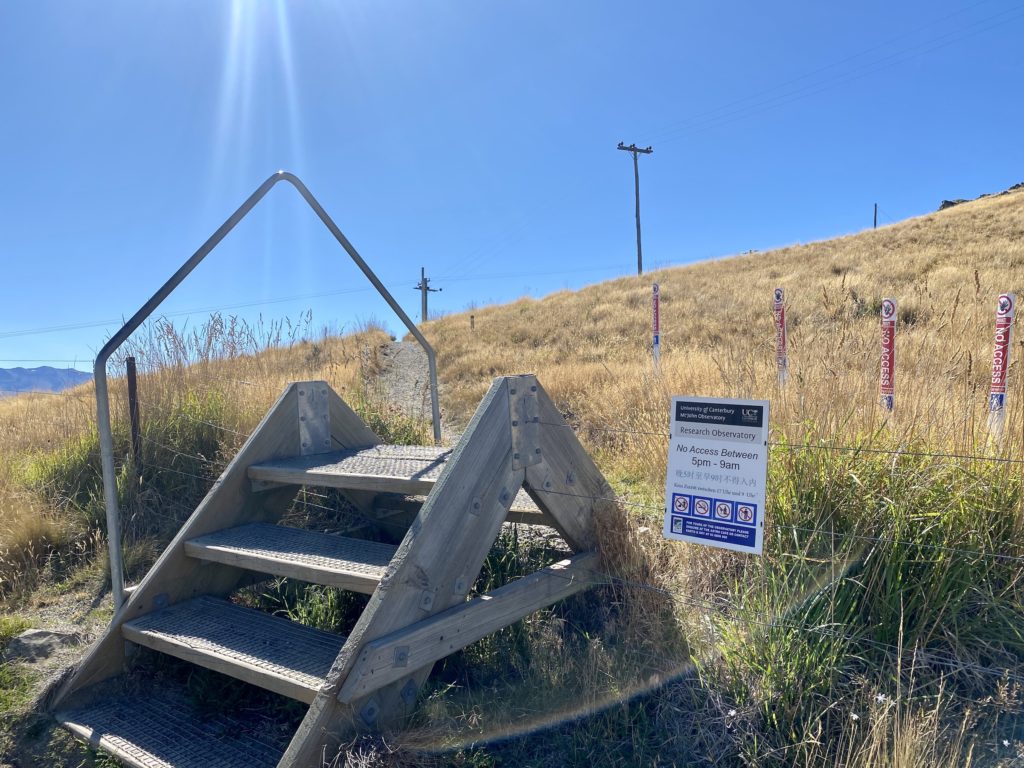
Continuing along the Mt John Circuit Summit Track, you’ll reach a stile to cross over into the Observatory and cafe area. Be aware that this part of the track closes every night from 5 pm to 9 am (there are signs posted in case you forget).
The University of Canterbury runs the Mt John Observatory, which is an astronomical center focusing on research. They offer stargazing tours at night — Lake Tekapo has some of the clearest night skies in the world.
Astro Cafe offers barista-made coffee, hot and cold drinks, and cabinet food. There is seating both indoors and outdoors. The patio is a wonderful spot to take in the 360° views of Lake Tekapo, the Mackenzie Basin, and Aoraki/Mt Cook. The cafe is open from Thursday to Sunday, 9 am to 3 pm.
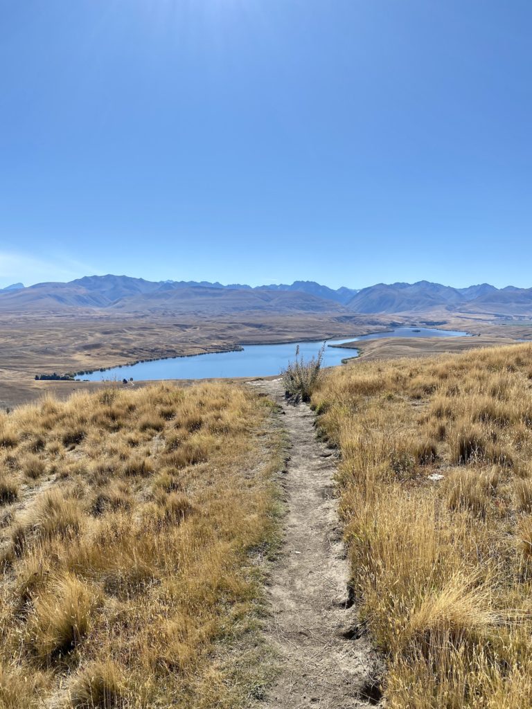
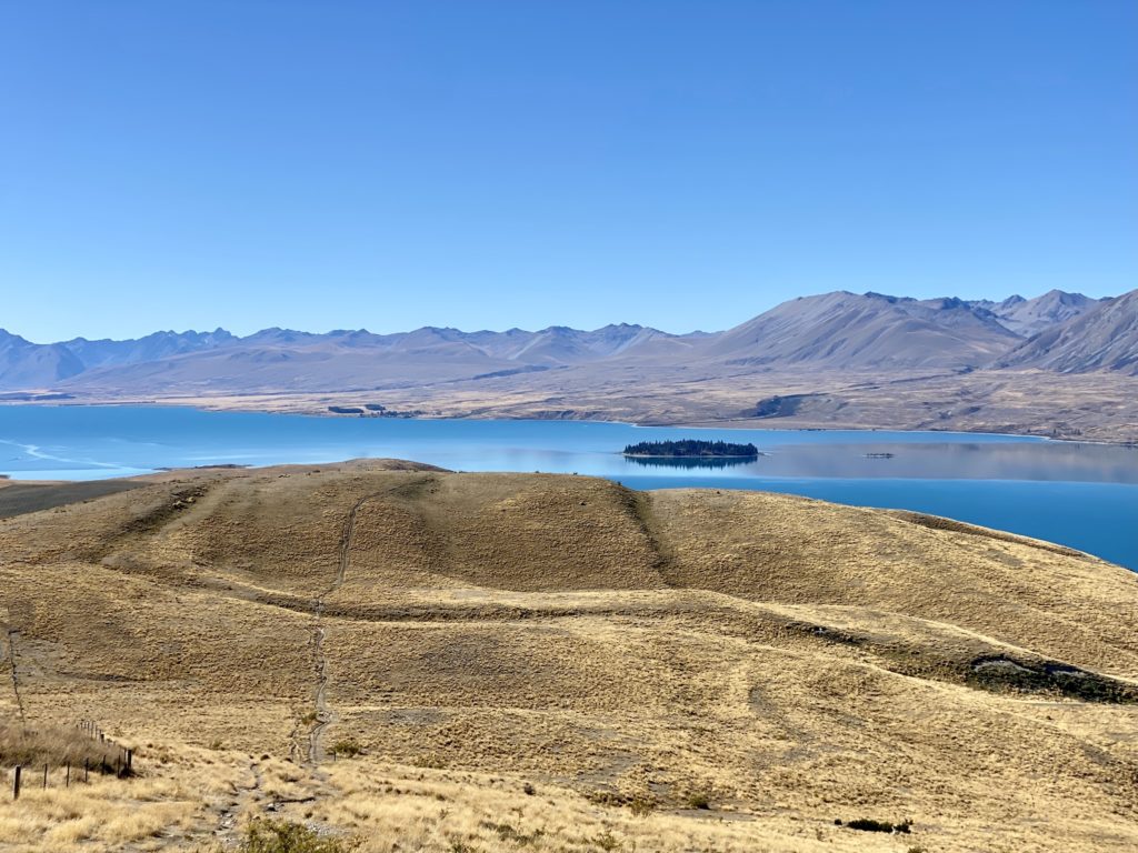
Northern side of Mt John
After checking out the Observatory and cafe, head back down to the Mt John Summit Circuit Track. You’ll walk clockwise around the north side of the mountain, opening up to amazing views of the other surrounding lakes. In the distance, you’ll see Lake Alexandrina, Lake McGregor, and the northern side of Lake Tekapo (and Motuariki Island).
This part of the track is pretty flat and easy to walk. Once you make it around the northern side of Mt John, you’ll have a decision to make: either turn right to finish the loop and come back down via the forest or turn left to walk the extended path near the shore of Lake Tekapo.
I chose to finish the loop and come back down the way I started. If you’re keen to go on a longer hike, I’d recommend the lake-side trail — the views of the water are supposedly awesome.
Final thoughts on Mt John Summit Circuit Track
I really enjoyed the views I got at the top of Mt John. Personally, the walk uphill through the forest was pretty tiring and boring by comparison. It’s essentially half an hour of steep walking with no views to enjoy along the way (note: I’m the kind of hiker that relies on good views to keep me motivated!). Overall, I’m glad I did it, but I probably wouldn’t want to do it again.
If you have a car, I think it would be worth it to pay to access the road up to the summit. That way, you get to see the Observatory, cafe, and amazing views without any of the uphill slog. If you’re just looking for a good workout with the added bonus of a good view, I’d give this hike two thumbs up.
⇉ If you’re looking for an uphill slog with good views the whole way, try the nearby Red Tarns Track at Aoraki/Mt Cook National Park.
Thanks for reading this guide to Mt John Summit Circuit Track! Keep your eyes peeled for more New Zealand hikes coming soon.
xoxo Niki

Hello There. I found your blog using msn. This is a very well written article. I will be sure to bookmark it and return to read more of your useful information. Thanks for the post. I will definitely return.